Dishman Hills, Spokane Valley, Washington
Dishman Hills Natural Resources Conservation area is over 3,000 acres of ponds, pines, and rocky hills managed by the Washington Department of Natural Resources, Spokane County, and Dishman Hills Conservancy. It has been a protected natural area for over 30 years. Dishman Hills Public Trailheads and Conservation Land cover three main areas: Dishman Hills Natural Area, Glenrose, and Iller Creek.

Dishman Hills Loop is in the natural area by the same name and is hike 19 in 100 Hikes in the Inland Northwest, categorized in the “Around Spokane/Coeur d’Alene” section. The book lists the Dishman Hills Loop as 2.5 miles, but it is very easy to extend your hike, as you can see here:
Until today, I have always used the Camp Caro parking area and trailhead. In this hiker’s opinion, it is a large parking area, but not well-kept or appealing. The parking lot has enormous potholes, the trash bins often overflow, and I have never seen the bathrooms clean. The accessibility of this trailhead from the main roads through the city makes it vulnerable to vandalism and attention from those not there for hiking or other conservation purposes. This trailhead has a vast grassy area close to the Camp Caro playground and a trailhead map.
This is not one of my favorite local trail systems, but I am still thankful that it is here as one of the many options we have to wander in the woods during winter when other trails are inaccessible. 100 Hikes in the Inland Northwest says you can hike here from March-November, but if you are properly outfitted, you can use these trails year-round.


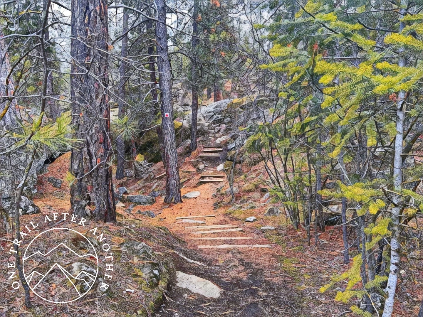
Today I went hiking with one of my pups, my youngest kiddo, Trailkat, GV, and Barbarian Scientist. We used the west side trailhead, located at 8th Avenue and Park Road. The trailhead is in a residential area with no designated parking lot. TrailKat grew up on these hills and has contributed countless hours of trail work to this area and knows it better than anyone. She picked out an easy 3.1-mile route for us that covers the yellow and blue trails when looking at the above map. The trails were covered in snow and easy to navigate when wearing YakTrax Pros or Kahtoola Spikes – although I ended up getting my YakTrax stuck to one another and tripping. But that was a me-thing, not a traction thing or trail thing. Most sections of the trail are single-track right now because of the snow. Continuous improvements are being made in the conservation area, and right now, the trails are marked with colored shapes posted very high on trees. The yellow trail on the above map is currently marked along the trail with yellow stars. The blue trail on the map is currently marked with blue circles. And so on. This map and the maps in the conservation area do not have keys to help hikers match the colored shapes with the trail names.


