Red Rocks Canyon National Conservation Area, Las Vegas, Nevada
Solo travel is essential. For me. If it is not essential for you…I probably cannot trust you. International Women’s Day is coming up, which means it is time to revisit Kanab, Utah with Dreamland Safari Tours. Each year they award a few women the Women’s Adventure Award – I was fortunate to win it the last two years, being the only woman to win twice! This year, I return as an alumni to usher in the winners for this year. This opportunity provides a great setting for a solo trip, even though I feel like a dump truck has run me over, or perhaps, like I have cancer.
I had to travel on a tight budget, so I made some weird choices. First, I flew on Allegiant, which I had never even heard of. It was actually a great experience, but their thing is that they fly at odd hours (I did not leave until 9:30pm), and only certain days. And they charge for every. single. thing. None of that was a huge problem and was worth the savings. Second, when I landed in Las Vegas I stayed at a hostel. The Bungalows Hostel is apparently the best hostel in Las Vegas, and I worry about how bad the others must be for this one to be the best. While I was checking in a man entered the lobby and promptly passed out on the floor. The person attending me was not phased. Once you get through the gate and then the security door to the courtyard, the hostel is pretty cute. It has grass, a bunch of lights strung through the trees and a lot of seating. My room was a shared room with 6 beds. There were three of us in it, and I am pretty sure the other two were sex workers. I really wanted to talk with them and ask questions, but the one time I felt brave enough to say something, the one that was there at the time was chugging wine directly from the bottle to take some pills. Somehow, it did not seem like a good time.

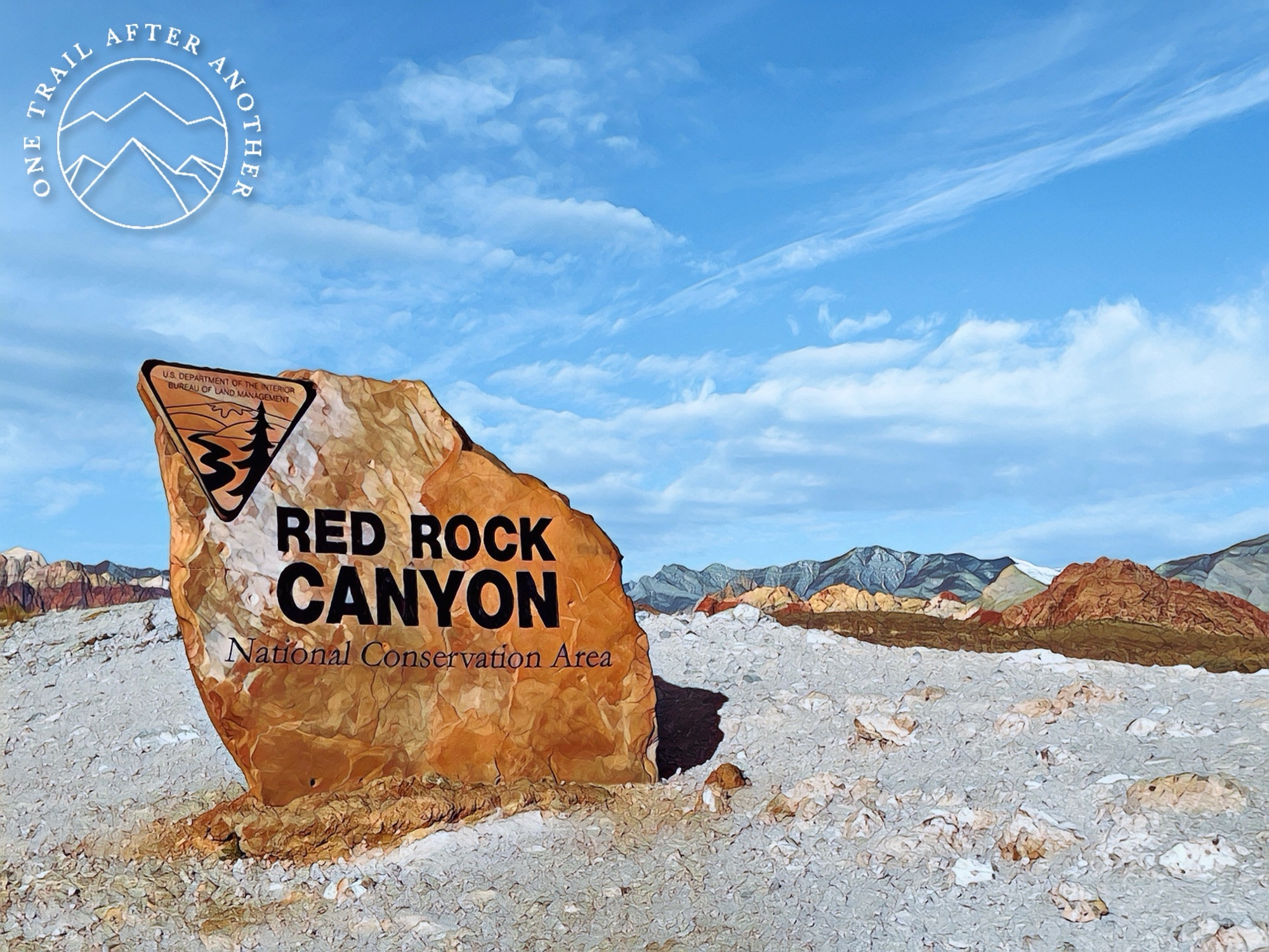
I had an entire itinerary planned for four days to myself before meeting with the other women from the Dreamland event. This conservation area was not on the itinerary and I am really happy I made the last minute change. Red Rocks Canyon National Conservation Area is a scenic loop right outside Las Vegas. It is a 13-mile drive that requires a parks pass and a timed ticket from recreation.gov. It costs $22. Even with my last minute change of plans, I was fortunate enough to get the last ticket!

Red Rock Canyon was designated as Nevada’s first National Conservation Area. Red Rock Canyon is located 17 miles west of the Las Vegas Strip on Charleston Boulevard/State Route 159. The area is visited by more than two million people each year. In marked contrast to a town geared to entertainment and gaming, Red Rock offers enticements of a different nature including a 13-mile scenic drive, miles of hiking trails, rock climbing, horseback riding, mountain biking, road biking, picnic areas, nature observing and visitor center with indoor and outdoor exhibits as well as a book store.
In 1990, special legislation supported by the Nevada congressional delegation, changed the status of the Red Rock Recreation Lands to a National Conservation Area, the seventh to be designated nationally. This legislation provides the funding to protect and improve the area. Red Rock Canyon National Conservation Area is enjoyed by the local population as well as visitors from the United States and many foreign countries. Nearly four million visitors each year enjoy the spectacular desert landscape, climbing and hiking opportunities, and interpretive programs sponsored by the BLM.
https://www.blm.gov/programs/national-conservation-lands/nevada/red-rock-canyon
This place can not be described well enough. The loop is one-way. You begin by meeting the park ranger at the gate to show him your pass. Or rather, if you are me, even though you are well-prepared and have done this 100 times, you manage to panic and then your pass goes flying and you spend ten minutes searching the car it before the park ranger tells you to just go on. Sorry, park ranger, you did not deserve to begin your day that way. Or maybe you did. I do not know what kind of karma is waiting for you.

The first stop is the visitor center. If you pass it, the only way to get back to it is by getting another timed ticket and starting over again. So, stop there. It is informational, it has a gift shop, and also the first trail.
Moenkopi Trail
This trail is at the visitor center and is a beautiful introduction to what is about to come. It was 2.2 miles and 387′ of elevation gain.


Calico Hills Trail
Calico Hills Trail is the next trail on the scenic drive. I probably took 100 photos here. It begins with a quick descent and then you have huge rock walls on one side and sandy hills on the other. There were many rock climbers along the walls. This trail was so pretty to me and began the close up views of the colorful rock formations that are going to become more frequent as I travel on. I completed 1 mile and 436′ of elevation gain, but there are so many trails in there that I could have done much more or even less – I knew I had more hikes coming up (and I felt like a bag of shit), so I opted to move on.


Calico Tank Trail
This was probably my favorite trail. The crowd really thinned out by this point because this trail was much more difficult. The trail led me up-up-up for one mile 1,056′ of elevation gain. It was steep. I did not notice too much, though, because the views are so amazing. Near the trailhead a young woman from Taiwan told me I look so strong and that she wanted to hike with me so she was not alone. If you have ever imagined what it is like to be walking in the wilderness while a beautiful woman from Taiwan repeatedly tells you how amazing you are, well…same. It was great for about 20 seconds.


Ice Box Canyon Trail
This trail was the last trail and had far less people than Calico Tanks. It has pretty comparable stats to Calico Tanks, with 2.34 miles and 840′ of elevation gain, but is done in a different way.


Seven Magic Mountains
Internationally renowned Swiss artist Ugo Rondinone’s Seven Magic Mountains is a large-scale site-specific public art installation located near Jean Dry Lake and Interstate 15, approximately ten miles south of Las Vegas, Nevada. Comprised of seven towers of colorful, stacked boulders standing more than thirty feet high, Seven Magic Mountains is situated within the Ivanpah Valley adjacent to Sheep Mountain and the McCullough, Bird Spring, and Goodsprings ranges of mountains. A creative expression of human presence in the desert, Seven Magic Mountains punctuates the Mojave with a poetic burst of form and color.
https://sevenmagicmountains.com/


“A rose in the desert can only survive on its strength, not its beauty.” – Matshona Dhliwayo
Go solo. I will never stop saying it. The end.
2 Responses
[…] my adventurous day at the Red Rocks National Conservation Area, in Las Vegas, I spent the following day at The Valley of Fire. It made sense because the rest of […]
[…] was a good one. If you have been following along, when I wrote about the Red Rocks National Conservation Area, I said I was here because International Women’s Day is coming up, which means it is time to […]
Comments are closed.