Scott’s Run Nature Preserve, McLean, Virginia
I am going to write a blog. Or so I keep saying I will. I am just not in it to win it. I work, workout, try to remember to eat, sleep fitfully, then rinse and repeat. It is really cool. We have been here three weeks and everything is great except me. So, that is nice. Anyway, I made it. I am here writing a blog.
Not Kansas (or Idaho)
Virginia is so green. It is just so beautiful. We live in one the wealthiest cities in the entire country. You live in a high rise or a mansion. Homelessness is not an evident problem. Even with the high rises and high-security business compounds and the mall that is as big as Coeur d’Alene, it is very green. Trees are everywhere and everything is well cared for.
There are a lot of hiking trails here, but they are more difficult to access than I had grown accustomed to in Idaho. If something is 5 miles away, it will take 30 minutes to get there. But also, I am not simply walking out my front door to my car, but instead I am using an elevator and then navigating our parking garage to even get started on that 30-minute drive to get somewhere 5 miles away. I suppose it is a small price to pay in the end, when it means I get to roam free for a while.

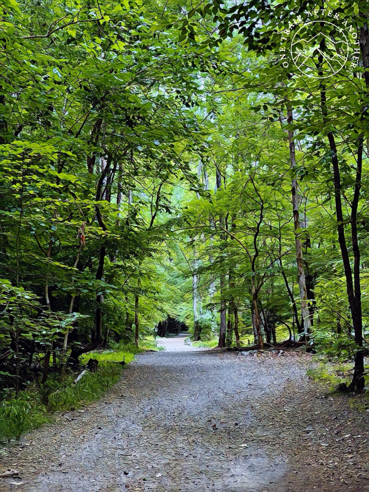
Scott’s Run
For my Idaho friends, Scott’s Run to me here is what maybe Q’emlin Park was to me when I lived there. It is more rugged, though, more like how Q’emlin was prior to people like my family marking the trails and establishing official paths. The trails are definitely maintained, so maybe it is more like it feels more remote. There are a few trash cans along the way, some benches, and the trails are marked how east side trails are often marked – with blazes. Blazes are small painted marks on trees. If there are multiple trails, then trails can be marked in different colors or with two blazes. There are two trailheads here. Both have maps, but the east parking lot is much larger and also has outhouses.
60 Hikes Within 60 Miles
Similar to how I used 100 Hikes in the Inland Northwest as a guide for hikes and blogging when I lived in Idaho, one of the guides I am using here is called 60 Hikes Within 60 Miles – Washington D.C. Hike 38 in the book, Scott’s Run Nature Preserve is described as “Hidden amid upscale subdivisions in Fairfax County, Scott’s Run Nature Preserve consists of a hilly tract of riverside woodlands scarcely 4 crow-miles northwest of Washington. For songbirds and other wildlife, it’s a sanctuary. For locals, it’s a community park. And for hikers, it’s one of the metro area’s loveliest close-in venues. For years, owner Edward Burling used the area as a weekend getaway while allowing hikers to roam his almost 400 acres. After he died, the tract sold to a developer. But in 1970, local residents and officials managed to fold it into the county’s park system.
This hike loops through thickly wooded uplands and reaches the Potomac River in three places. It is hilly enough to provide over 420 feet of elevation change. There are trailside maps, and blazes are usually easy to spot, but take a map and plan your route before you go. Also, watch for signs on the Potomac Heritage Trail, which traverses the shoreline; it can be muddy, rooty, and rocky.”
Hop Scotch

The trail crosses the creek that feeds the waterfall in a few places. Two of the places are reinforced with these concrete stepping stones in case the water is high.

Scott’s Run Waterfall

The main trail leads almost directly to the Scott’s Run Waterfall. I am standing on a little beach to take these photos. There are signs saying that it is dangerous to even wade in the little swimming hole here, but the last time I hiked there were many people soaking in the water.

Potomac River

The waterfall feeds into the Potomac River, which is a major landmark in the DC region. The Potomac runs over 400 miles, beginning in West Virginia and ending in Maryland. George Washington called it “the nation’s river” and built his home on it. Who knew that when I was at Mount Vernon with the boys last summer that I would be living here now. Not me.
Toads

Once you reach the waterfall, the trail parallels the river for as long as you want it. Because it is so wet, the trail has countless toads hopping around it. They are the same color as the dirt, so you do not even realize they are there until they are hopping out of the way. Although, technically I am getting in the way, not them.

There are no ways other than UP to get from the river to the trailhead. The path to the waterfall is clearly the most used because once you hike beyond that, the trail is much more narrow and you have to rely upon the blazes more. I love the blazes. I think they are so much better than obnoxious markings attached to trees or installed into the ground.

There is a small creek crossing on the way up that is pretty subtle. The creek crossing is easy and the stairs are stable.
More Stairs

The trail ends (or begins if you go the opposite way I did) with this long stretch of stairs built into the hillside to protect the landscape. It is generally very wet, so sliding up and down the hill would not only be unsafe for some people, but destroy the plants that make their home here.

The difference between graffiti and graffiti. It reminds me of the age-old argument about cairns being graffiti in the mountainous north west. Cairns built by trail stewards are landmarks meant for navigating. Like blazes. Any other cairns built are actual graffiti and cause damage to the wilderness where it happens. Like tree carvings. Don’t carve into trees.
No Responses