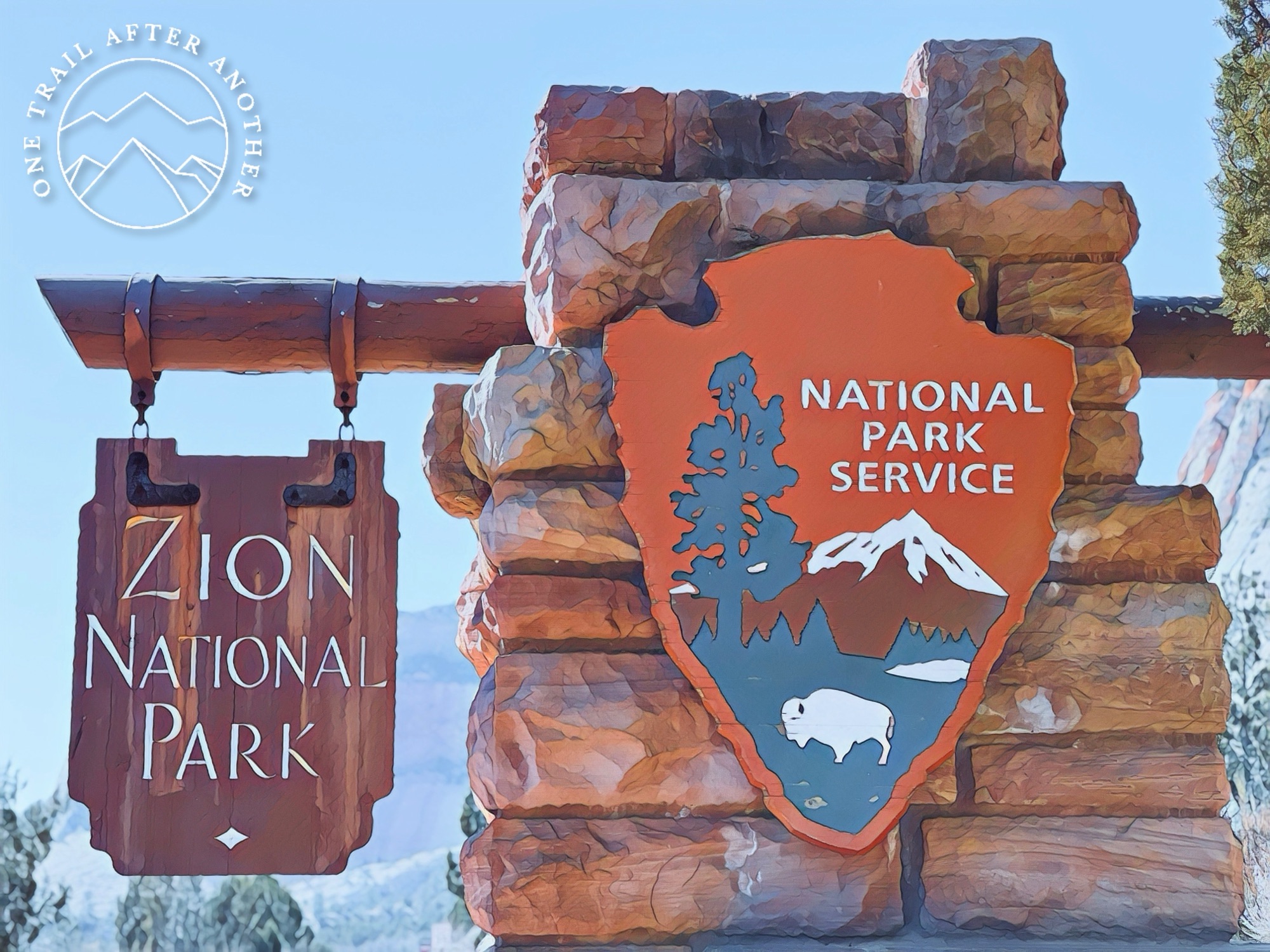
Zion National Park, Springdale, Utah
Four days by myself. I have said very few words. Glorious. During the first three days, I hiked over 24 miles with 5,446′ elevation gained. Glorious. I have driven I have no idea how many miles on beautiful desert roads. Glorious. I have forgotten to eat and hydrate. Less glorious. And I have forgotten to take my medications. Way less glorious. Go solo, I say. It is essential, I say. But, my oncologist would also say my medications are essential. So, today has been mostly for resting. Recovering from activity and from the lapse in pharmaceutical intervention. Preparing for the next two days which will be filled with more sun and hiking and…sharing it with people.
And writing about my day yesterday at Zion National Park. After Great Smokey National Park (I visited last fall) and the Grand Canyon National Park (I only want to see when I can go do the Rim-to-Rim-to-Rim hike), it is the third most visited national park in the US, surpassing even Yellowstone National Park and The Statue of Liberty.
Honestly, the only things I knew about Zion was about Angel’s Landing and The Narrows, two epic hikes. Angel’s Landing is not a long hike and does not even have a huge elevation gain (2.5 miles with about 1,500’eg), but it is its location that makes it a worthy bucket-list trek. It is on a huge rock formation and has 5,012 switchbacks on a very narrow, slippery ridge. It is a permitted trail that users say provides epic views of Zion that make it worth the risk. The Narrows is nearly the opposite – it is on the bottom of Zion Canyon, following the North Fork of the Virgin River. By following, I mean through. You are hiking in the river. I want badly to do both Angel’s Landing and The Narrows, but Barbarian Scientist and I will return to do them together.
And now I know more about Zion National Park! I spent one full day in Utah’s first national park and every minute of it was beautiful. I used the GuideAlong app again (you may recall me introducing it to you when Barbarian Scientist and I went to the Icefields Parkway). The app is a GPS-based tour guide. I downloaded the Zion National Park tour while I had cell service, and Mr. Awesome Voice began his narration as soon as I was in the location. Within the app, he provided me suggested itineraries and a list of the locations he will be highlighting so I could look up potential hikes ahead of time. His narration covered the history of the park, as well as the surrounding region.
For the Zion tour, he had me begin in the town of La Verkin, Utah. He suggested I begin the tour before arriving to Zion by taking the La Verkin Turnoff, but when I quickly experienced roads that are for Jeeping and not for a Dodge Challenger. That was okay, though, because I was already worried about not getting enough time in Zion. After La Verkin, he introduced me to the town of Virgin, which is a town where it is actually illegal to NOT own a gun. Is this some old western bullshit? No. The law was put in place in 2000. The last point of interest on the way to Zion is the Grafton Ghost Town, which was one of the locations for Butch Cassidy and the Sundance Kid.

Accessing Zion National Park is as easy as any other park, but I imagine during the summer it is bonkers. I have a Military/Gold Star Lifetime Pass, so I only had to present it and my drivers license. Immediately inside the west gate is the visitor center and some trailheads. The visitor center at any park is a valuable place to set yourself up with some history and geography of the location, interact with park rangers, and shop. National parks are always running on a deficit, which grows each year, despite the number of visitors increasing each year. Using the resources within the parks is vital for the health of the parks so that politicians can be confronted with the growing need for increased budgets.
I am not going to give this a whole lot of energy, but the history of Zion is about a whole lot of Mormon bullshit. Zion. The Patriarchs. Angel’s Landing. Virgin River. I am a survivor of the Mormon church and know way too much about it – like so much of American history, the church whitewashes its own. They were no different than any other white “settlers” (Mormons call themselves pioneers), where they wanted to live on land that was already inhabited, but decided their shared delusions and religious fantasies made them superior, so they took over vital land and resources to starve out the original inhabitants, and if that did not work, they chose violence. There was a point when the official name of Zion and names within Zion were up for selection, and when it was suggested that ancestral names be used, the Mormons had a huge tantrum until they got their way. Gross.
Watchman Trail
This was my favorite trail. The trailhead begins at the visitor center, so it was nice to be parked in one spot for a while. There was not many people using it when I was there. I do not know why, but on my list I had “Big YES” beside this trail name, and I am happy my past self was looking out for my future self because I was right – Big YES. It was an exposed trail on sand, sandstone, and with some steps to aid in the steepest sections, lined in Juniper Trees and cacti.

The trail begins along the Virgin River and is quite flat for a bit. The water here is not the turquoise water of the north west, but has more green colors, and it is so pretty.


You know how I love those trail views of the trail. Yes, I said that correctly. In this photo you can see the trail I walked along the bottom, gradually climbing from the left to the right. You can also see the road towards the center of the photo.

Watchman Trail brings you to a mesa that is set below these peaks. The photo is a bit fuzzy because the lighting and timing was not ideal for my shaky hands and an iPhone, but I really want you to see how the work was worth the view. The hike ended up being a little over 3 miles with 666′ of elevation gained.

Court of the Patriarchs
Named for three towering figures of the Old Testament, these sandstone cliffs hold court over Birch Creek Canyon and this section of the Virgin River: Abraham Peak, Isaac Peak, and Jacob Peak. This view is from a tiny trail to climb, which is also the trailhead for the Sand Bench Trail. I did not have any notes written beside that trail name, so I did not follow it, but man…not following a trail is not my strong suite.

The Grotto Trail
I did have plenty of pretty notes written beside the Emerald Trails, but the labeled trailhead for those trails was closed. I examined the map and saw I could access the pools from another trailhead up the road. That trailhead and the attached parking were for Angel’s Landing, and it was busy. I saw that this little trail also began/ended at this spot and I had already not followed the Sand Bench Trail and could not pass up another one. It is just a tiny one-mile trail that goes from the Angel’s Landing trailhead to the Zion Lodge. It was fast and runnable – a great way to stretch my legs!

Kayenta Trail and Emerald Pools
After my jaunt along the Grotto Trail, I grabbed my pack and began the trek up to the Emerald Pools. I do not know if having to take the Kayenta Trail to the pools added any work, but it was worth it. There was a park ranger at the trailhead to examine Angel’s Landing permits, but he let me go because I said I was headed to the pools. The trail was a lot like the Watchman Trail, with sand, sandstone, and some steps built into some of the steepest sections.

Again, every step was so beautiful. Juniper Trees, Pinyon Pine Trees, and cacti lined the trail.

Directly in the middle of the photo is a waterfall and that waterfall is the Upper Emerald Pool. The hike takes you to stops along the way to the Lower Emerald Pool and Middle Emerald Pools, which are simply cliffs where the waterfall -you guessed it- pools before continuing its fall to the canyon floor.

Not the slottiest of the slot canyons, but it is a slot neverless. All slot work is work. Or something like that.

The Upper Emerald Pool. The water is more the color of Tiger’s Eye. I looked up the colors of emeralds, thinking maybe there is a broader spectrum than I knew. No, there is not, but I did learn the pools are named the Emerald Pools because during the warm months the algae makes the water bright green. Right now, the water is forming ice, so it is definitely not a warmer month. Also, it is February, so I guess I did not need ice at the base of a waterfall to prove it is not a “warmer month.”
Riverside Walk
Even though it is rated as easy, I really wanted to do this path because it is the beginning of The Narrows. The trailhead is at the end of the Zion Canyon Scenic Drive and I suggest you make it your first stop, early in the morning. I began at the Visitor Center, so by the time I had completed the other hikes and got here, it was probably 11am, and I had to go back three times before I could finally get a parking spot. It is cold. The canyon walls are so close that it is nearly always shaded. The trail itself is easy and, although covered in sand, is paved and ADA accessible.


The Riverside Walk ends here, where The Narrows begins. Because so much of Zion is rock, water does not absorb well. Even a short rainfall can result in flash floods. The river looks low right now, because it is still winter, but it is prone to flooding at any time of the year. The number one rule for doing any hiking in Zion, especially anything in the canyons, is to know the forecasted weather. Completing The Narrows in February might provide lower water levels, but it is also freezing, so everyone I saw going in was suited up in waterproof clothing. Barbarian Scientist is a bit intimidated about the distances published (up to 16-miles), but when I told him that people can walk as much or as little as they want, he was in. Don’t get me wrong, he can easily run that distance. But, going slower, through a river, I suppose requires alternative thinking. I imagine our compromise will look something like me wanting to do the entire thing and he will want to do 4 or so miles, so we will do maybe…16 miles!
Canyon Overlook Trail
Zion is sort of divided into two sections – the Zion Canyon Scenic Drive and the Zion-Mt. Carmel Highway, with the sections being divided by the Mt. Carmel Tunnel. The Zion Canyon Scenic Drive displays the side of Zion that is quite green with trees and hanging gardens while the east side of the tunnel is much more arid and barely has any soil or water.
Construction of the 1.1 mile Zion-Mount Carmel Tunnel began in the late 1920s and was completed in 1930. At the time that the tunnel was dedicated, on July 4, 1930, it was the longest tunnel of its type in the United States. The Zion-Mount Carmel Tunnel (and the Zion-Mount Carmel Highway) provides direct access for travel between Bryce Canyon, Grand Canyon, and Zion National Parks. Learn more about the tunnel project’s history and construction.
https://www.nps.gov/zion/planyourvisit/the-zion-mount-carmel-tunnel.htm
In addition to being a connector between Zion and everything directly east of it, it is also a test for the Darwin Awards. When I arrived to the junction for the scenic drive and the highway, law enforcement was blocking access to the highway. Why? They told me some asshat in a “big rig” disregarded all the warnings about the size of vehicles that the tunnel can accommodate and ended up at the mouth of the tunnel before realizing he is not the wizarding world of Harry Potter and that the tunnel is a fixed size, as is his truck. The highway has two lanes. On canyon ridges. And it is very windy. Not windy, as in the air blowing. Windy, as in… not straight. Hm. I am also not straight. I think when I am in situations where I feel forced to define myself, I will from now on say I am windy. Not like air blowing. Anyway, this weirdo (not me, the truck driver) was forced to back his bag ass truck down the canyon highway, which I guess was dangerous and taxing, and also meant no one else could drive there. I returned several hours later and there was no semi truck pushed off a cliff, so that moron was probably rewarded with survival. Kind of annoying. I was imagining he saw all the warning signs and was like, “That sounds a lot like a suggestion and not a rule.” I think that all the time, so I get it. I am often like, “Those rules are for idiots. Surely I am not an idiot, right? RIGHT??”

Anyway, I am supposed to telling you about the Canyon Overlook Trail. The trail provides an immediate view of the east entrance/exit to the Mt. Carmel Tunnel. The tunnel is over a mile. The best part of it are the windows. During construction, “they” needed a way to dispose of the sandstone they were clearing out, as well as a way to breathe, so they built gigantic windows in the sides of the tunnel. They look out to the mountains and provide the best views. There are many signs along the way that say drivers cannot stop, and I was sitting right on that mental line of “That rule is for idiots. Surely I am not an idiot, right? RIGHT?” But, after the entire semi-truck/canyon/tunnel debacle, I am less sure of that, so I did not stop.

Wait…Canyon Overlook Trail. Yes. The trail is a sweet, short, steep one. Portions of the trail edges are protected by railings, others require you to be slightly wiser than the semi truck driver. The entire trail is beautiful. One short section is a boardwalk built on the side of the canyon wall, and oh boy, were some people not having a good time here. The boardwalk leads directly to a cave with an open view of the canyon, and some people were so scared to go further that they just stayed in the cave while their hiking partners continued. The end of the trail is an open view of the canyon, the winding highway, some higher mesas, some bighorn sheep, and a boatload of annoying people who were loud and obsessed with taking photos of themselves.

Zion is just as beautiful as I imagined it would be. I am a bit disappointed that I only did the moderate and easy hikes, but honestly, I am pretty tanked. Sometimes I simply feel like I have cancer. I guess especially when I forget to take all my medications. It is really nice to know I have things to look forward to coming back to do, though. And when I do that, I will not feel like I am missing out on the other things because I already did them. Supposedly. I guess it never really turns out to be that way.
